The app can help you to estimate how long a trip will take. To start, you need
a track or route; it could be either a route that you’ve drawn on the map, or an
imported track or route.

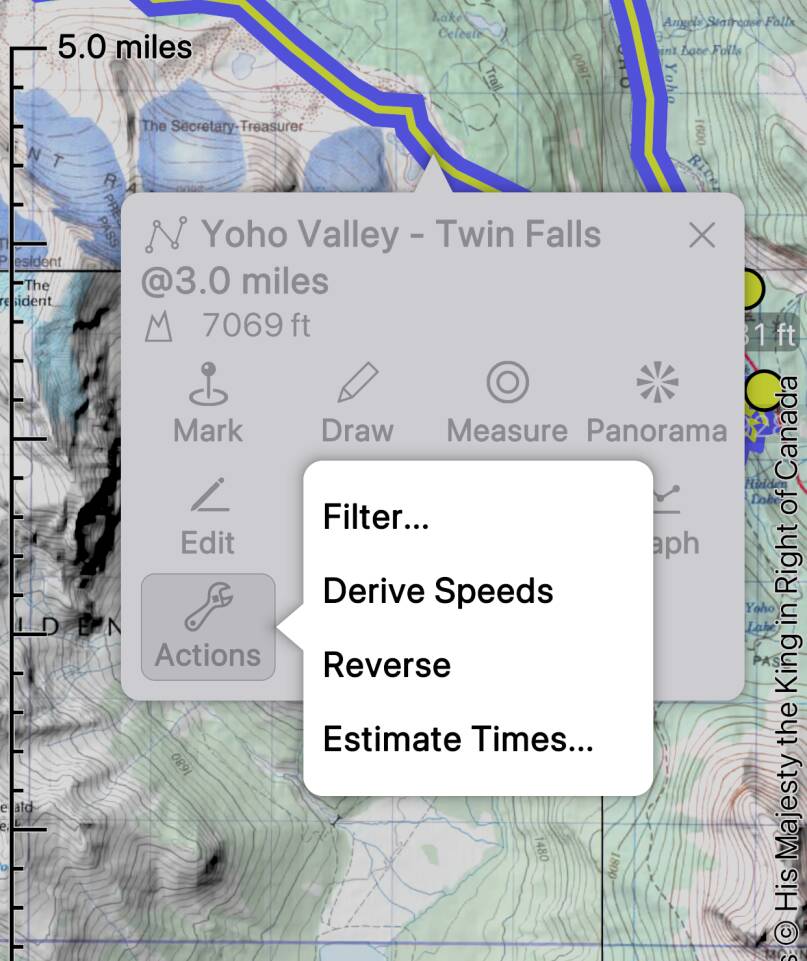
Here’s a route that I’ve drawn in Yoho National Park, BC. I select the route, tap
, and then tap “Estimate Times...”.
It’s also possible to access this function from the
button in the files screen.

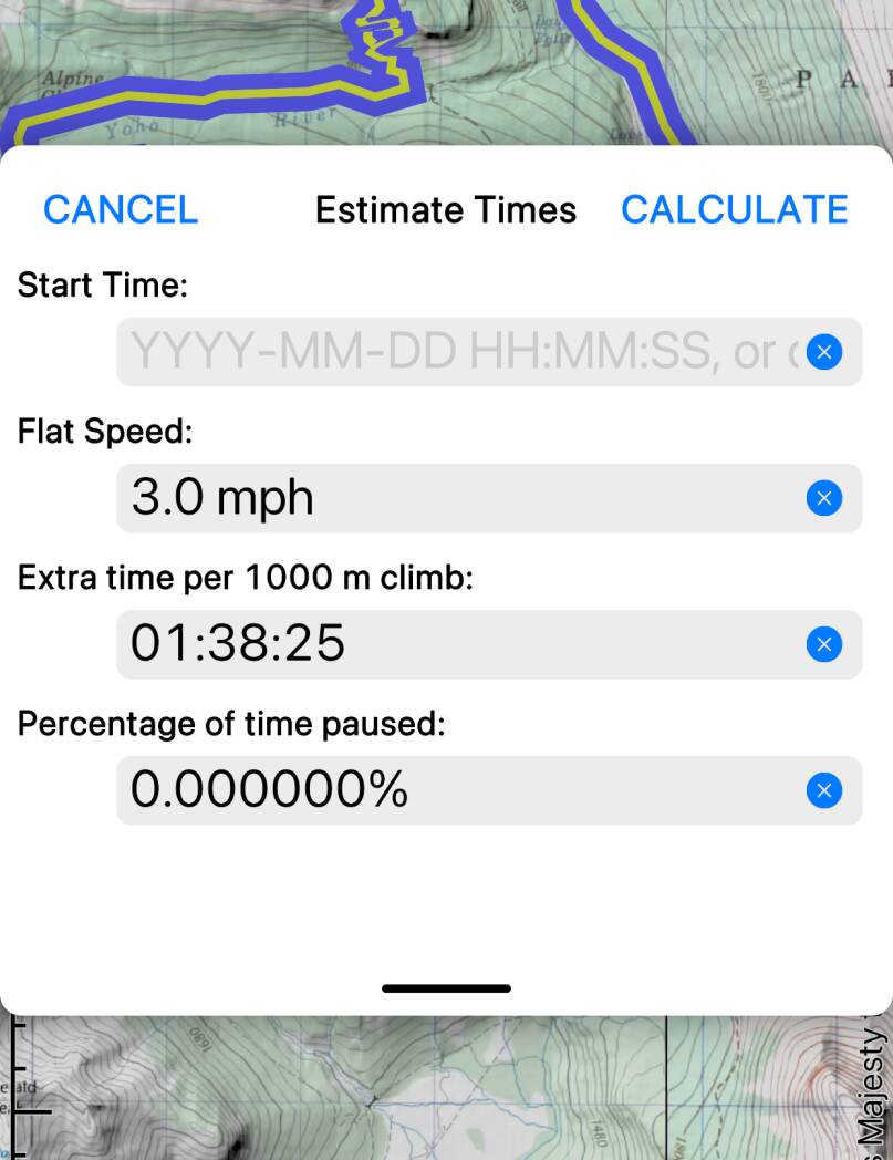
In the form that is presented, the most important values are the flat speed and
the extra time per 1000 m of climb. These will of course depend on your means of
travel, the characteristics of your group, the terrain, and many other factors
that the app doesn’t know anything about. It may take some practice to find values
that work for you.
The default values, 3 miles per hour plus about 1 hour 40 minutes per 1000 meters
of climb, correspond to Naismith’s
Rule. This assumes reasonably good terrain and fit individuals.
You can also specify a percentage of the time that you expect to be stopped
(for snacks, photos and so on).
You can specify your actual expected start date and time, or choose “Now”.
If you don’t specify a start time, the app will apply timestamps starting at
“time zero” (actually January 1, 1970!).
The estimated total duration is shown immediately at the bottom of the form,
along with the route or track’s total length and total climb; if you gave a start
time then an estimated end time is also shown. (Not shown in the screenshots.)
Tap to calculate times along the entire track or route.
Note that the computed timestamps will replace any existing timestamps that the
track or route has. There is no undo for this action. Avoid accidentally removing
timestamps from recorded tracks that you wanted to keep.

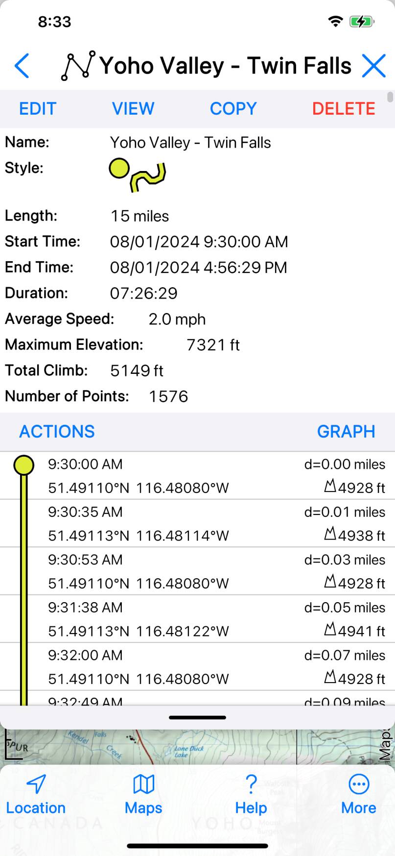
You can see the computed timestamps in detail in the Files screen; to go directly
to this screen, select the track or route and tap .
Read More about the Files screen.

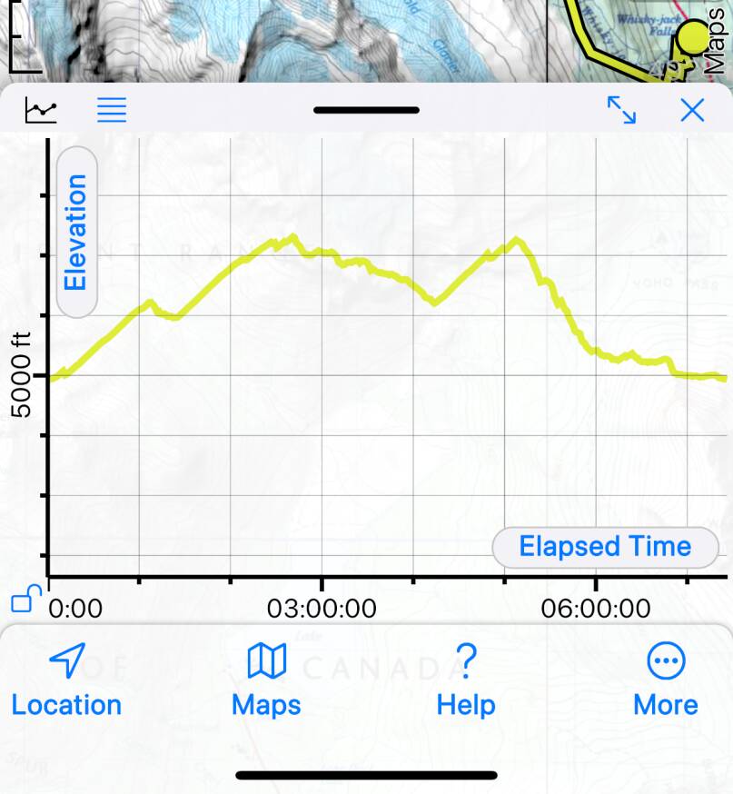
You can also view the results of the calculation on a graph - Read
More about Graphs.
When you’ve completed a trip, compare your recorded track with the estimated times by
viewing their graphs together. This may help you to adjust the speed parameters for your
future trips.
Filter First
Consider filtering your track or route before estimating times. Unfiltered tracks and
routes can contain very large numbers of points which cause their length to become
exaggerated; Estimate Times will then calculate excessive times. Read
More about Filtering.

