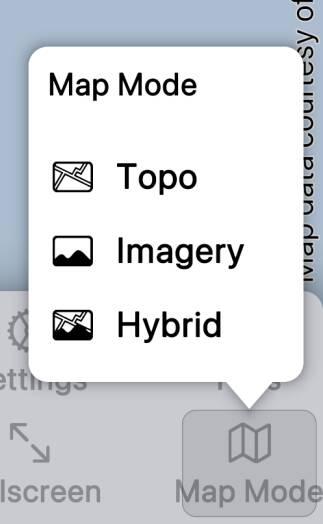
By default the app offers three map modes - Topo, Imagery and Hybrid - but
sometimes you’ll want to go beyond those defaults.
For example, the default topo mode prefers traditional USGS topos rather than
US Topo maps or Forest Service maps, if you’ve downloaded more than one. You might want to prioritize US Topo
or Forest Service maps, or you might want to show only one or other type of map. Making new map modes
makes this possible.
There are similar issues where both 1:24,000 and 1:63,360 maps
are available in Alaska, where maps overlap on the US / Canada border, and when
you have maps shared from the old Topo Maps app.

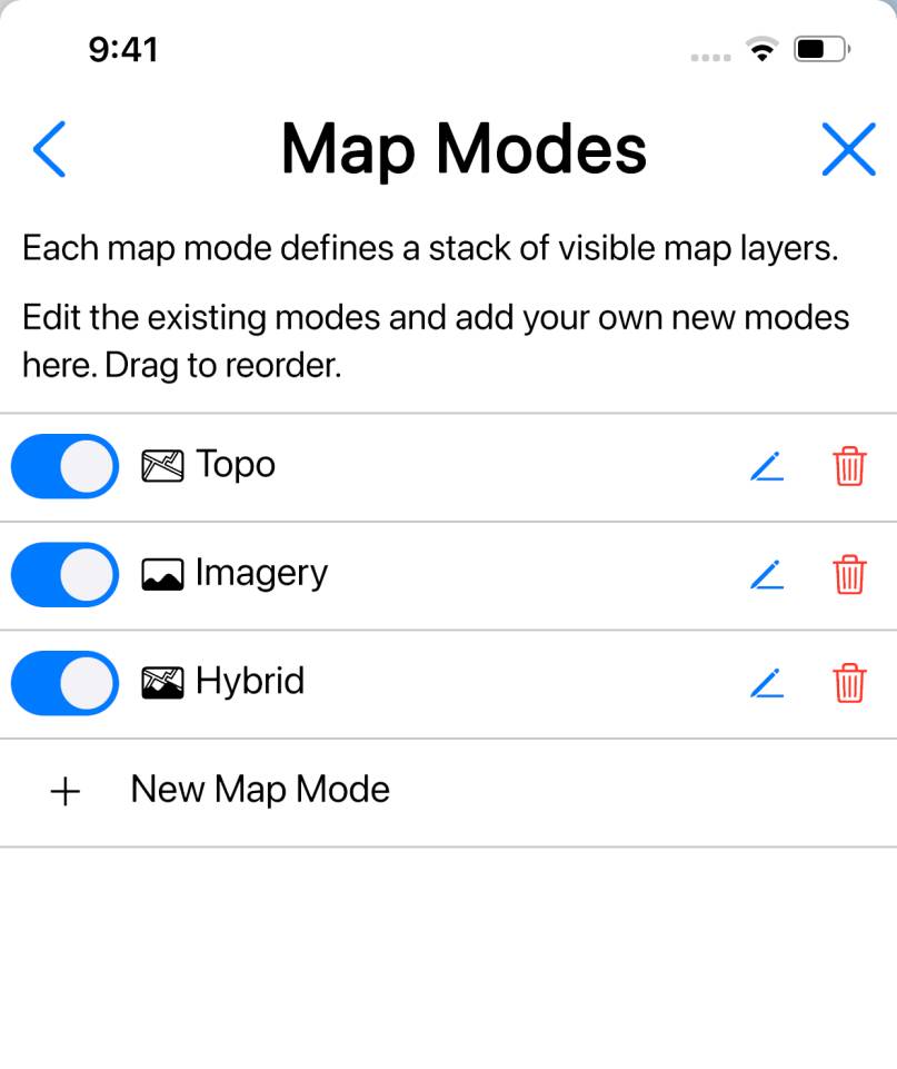
You can create new map modes, and edit the existing ones, in the “Map Modes”
section of the Settings screen.
Initially it’s best to create new maps modes to experiment with, rather
than modifying the existing default modes.

To create a new mode, tap .
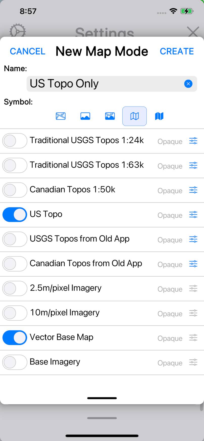
In the window that appears, give the mode a name and optionally choose a symbol.
The main part of the window shows a list of all the available map types.
Use the switches on the left to turn on the map types that you want to be shown
in the new mode. You can also drag the rows to re-order them.
So, for example, if you want a mode that only shows US Topo maps, you could
arrange the map types as shown in the screenshot.
Note that “Vector Base Map”, i.e. the low-resolution highways-and-cities map,
is also turned on. This isn’t essential, but without it it’s difficult to
find anything when zoomed out; you don’t even have coastlines.
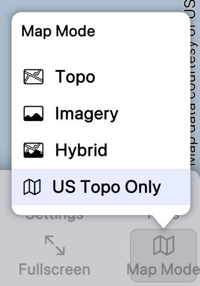
Tap , close the Settings screen, and tap the Map Mode button. The new
mode is shown. Choose the new mode (if it’s not selected already) and now only US
Topo maps are shown.

Something else to note about the Vector Base Map is that you can choose
whether to put it above or below the topos. By default it is below, but sometimes
you may prefer to have it on top. (This doesn’t work well near coasts, though.)
Map Modes interact with the Maps screen for downloading maps. By default,
the Maps screen will download the map types that are enabled in the current map
mode - though you can change this.
If you want to create a “hybrid”-style map mode, you need to turn on both
topo and imagery map types, with the topos above the imagery, and then make the
topos transparent. To do that, tap on the button
for each topo map type and choose “Transparent”. (Note that you can only use this to make imagery show
through topos; you can’t have two topos and have one show through the other.)
Note that custom map modes are erased and default map modes are reset when
the app starts in “safe mode“. You might like to take screenshots
of your custom map modes so that you can recreate them if this happens.

