
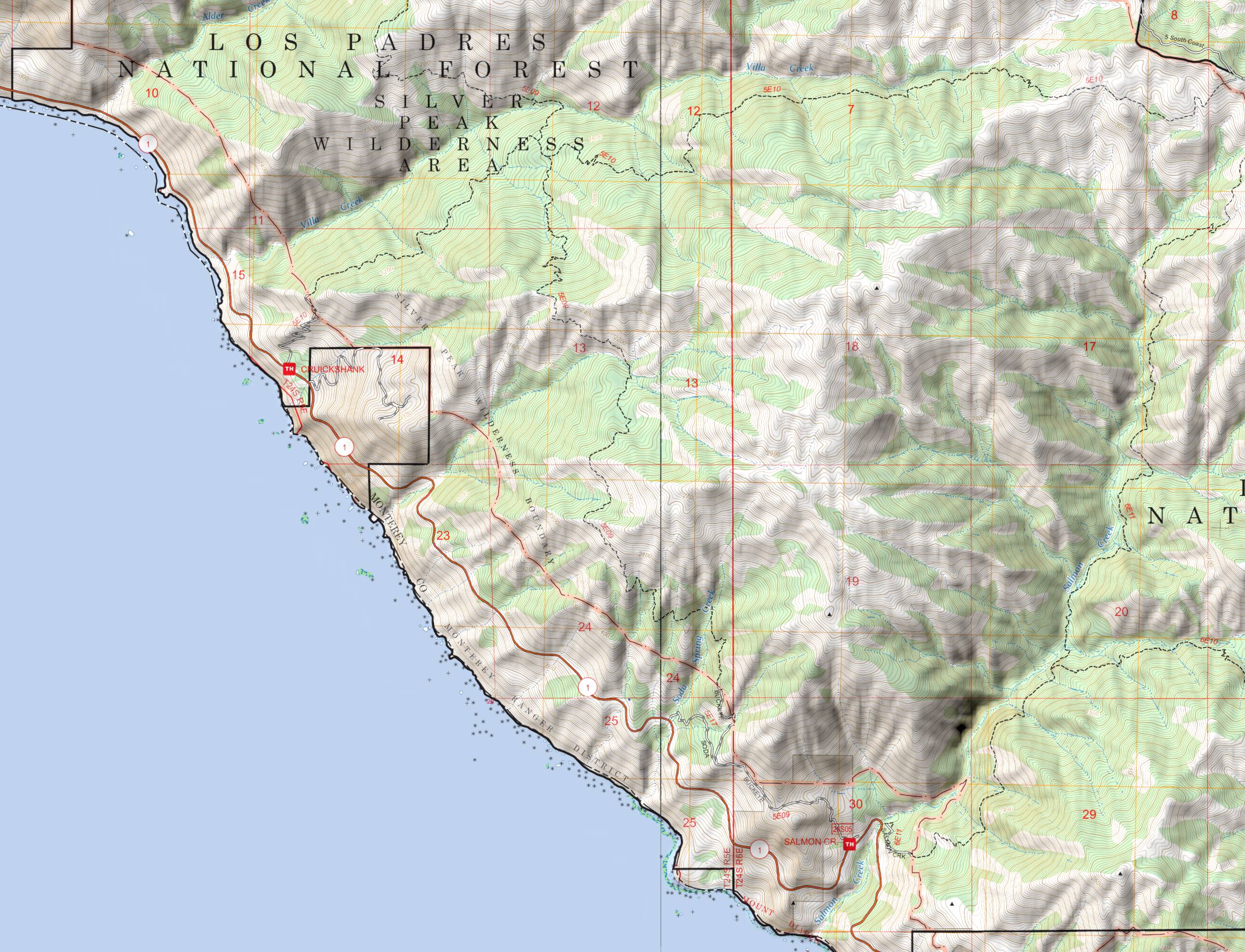
Traditional USGS Topos
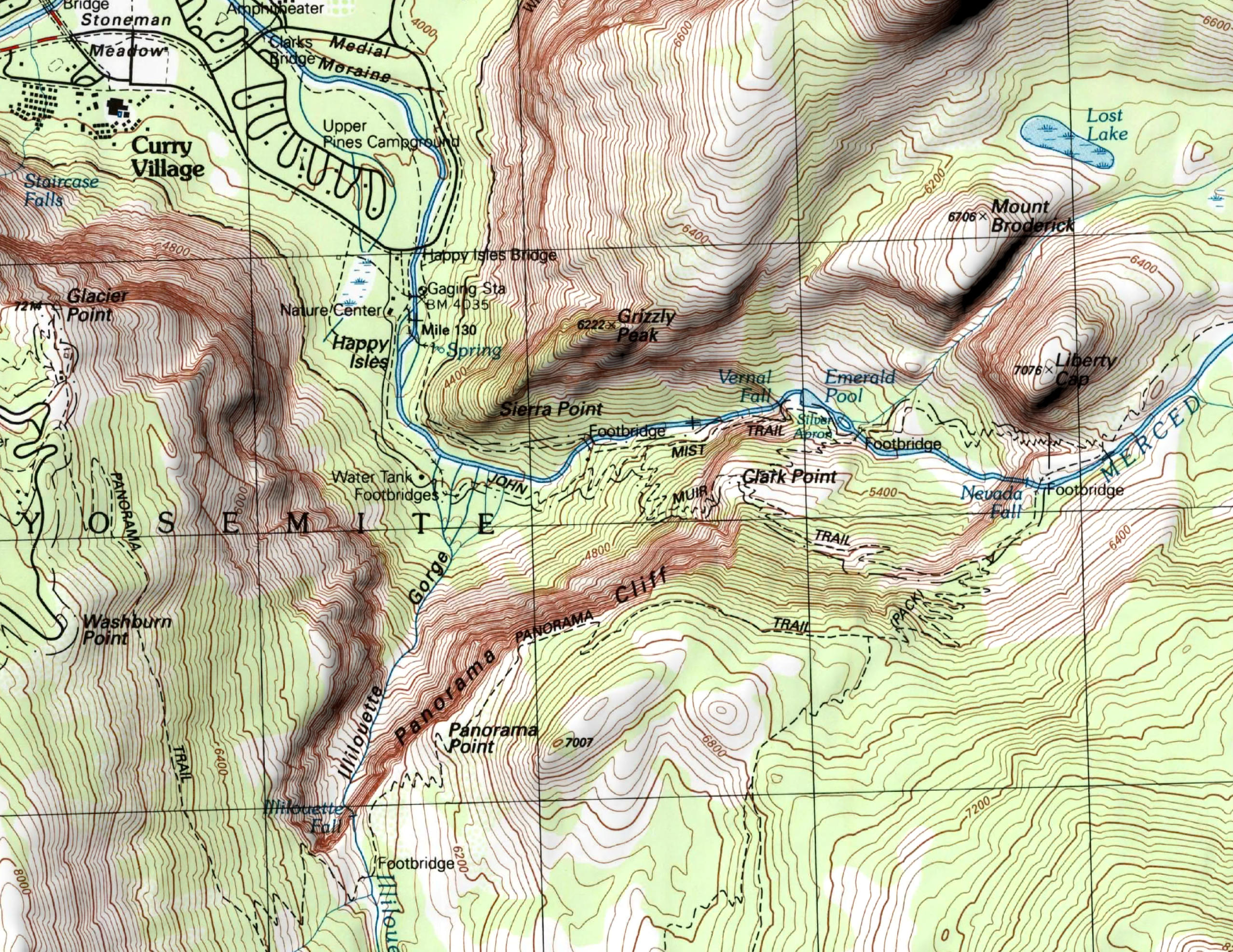
These are the classic US Geological Survey paper topographic maps, generally at a scale of 1:24,000.
(A few are 1:25,000 or 1:20,000, and most of Alaska is mapped at 1:63,360.) USGS stopped updating
these maps in about 2006 and scans are now archived by the
USGS
Historical Topographic Map Collection (HTMC).
Coverage is complete for the contiguous US, Alaska, Hawaii, Puerto Rico, and the
US Virgin Islands. One exception is the westernmost Aleutian Islands.
The median publication year for these maps is about 1972.
The HTMC has several scans for each quad. We have attempted to use the most recent scans
but there are some challenges with that. In some cases there are multiple variations of
the maps, such as with or without the green woodland layer; should we prefer a newer map
even if it lacks indication of woodland? With more than 50,000 quads we can’t check
them all manually!
Note that the maps used by our original Topo Maps app came from a different USGS archive
that had only one map for each quad. If you have both apps, please look out for any quads
that have changed for the worse and let us know about them.
Canadian Topos
These are 1:50,000 topographic maps produced by
Natural
Resources Canada until 2012. They include scans of paper maps and digitally-created maps,
most in color but some monochrome. Coverage is complete for Canada.
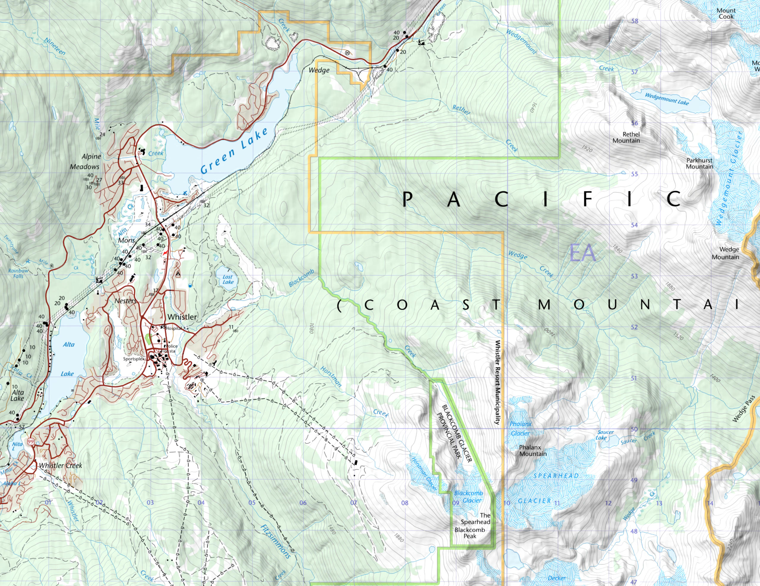
US Topo
US Topo
is the US Geological Survey’s replacement for the traditional paper topographic maps, launched
in 2009 and still being updated. They are at a scale of 1:24,000 and cover the entire US, with
the single exception of the Nevada Test Site.
The first maps were not a good substitute for the traditional maps but quality has improved
over the years. Their main advantage over the traditional maps is that they are more up-to-date.
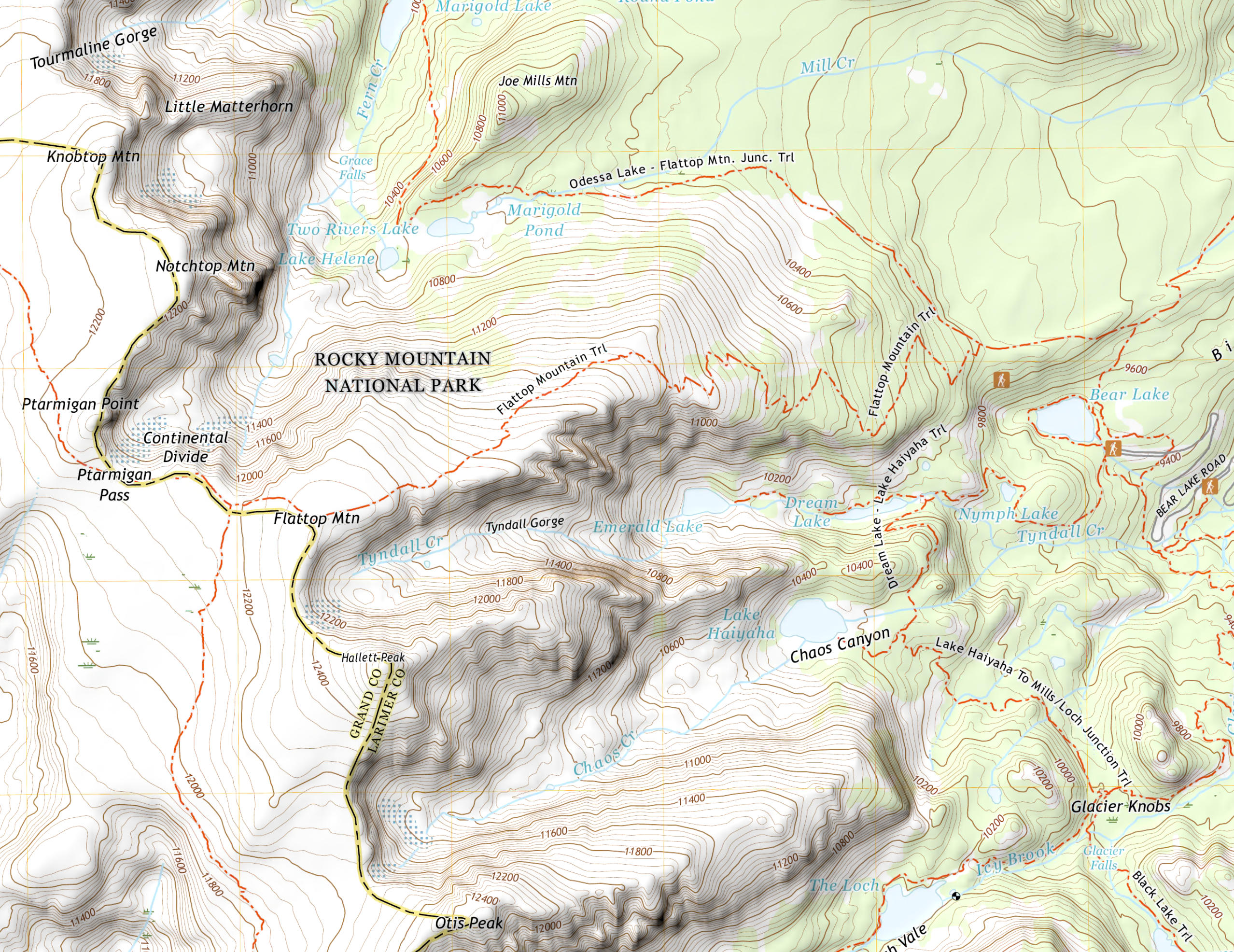
US Forest Service Topos
The US Forest Service publishes
topographic maps for the
approximately one sixth of map quads that include Forest Service lands.
As with the USGS maps, two products are available; a “legacy” map that ceased being
updated in 2023, and a new map that has been produced using more automated processes. Both are available in
the app. Unlike the USGS maps these are all digital products, i.e. none of them are scans of paper
maps. In Alaska, the legacy maps are at 1:63,360 scale and the new maps are at 1:25,000 scale.
Elsewhere, both versions are 1:24,000.
Generally, the legacy maps (above) seem to have slightly more detail than the new maps (below),
especially in settlements.
2.5m/pixel Imagery
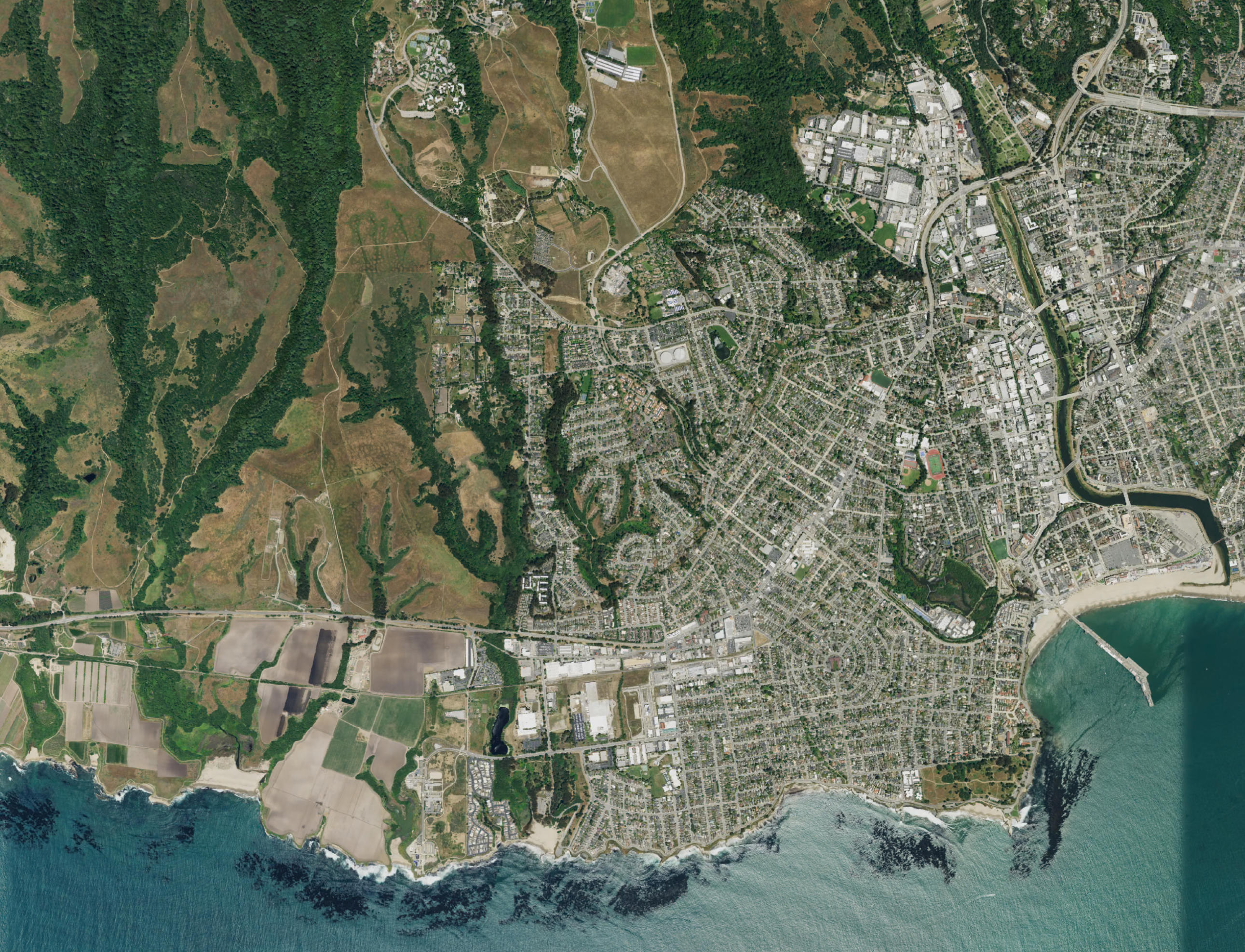
This imagery is distributed by USGS as part of the US Topo product; we have extracted the
optional image layer from the US Topo maps and scaled it to 2.5 meters per pixel. It is
available for the entire US, apart from the Nevada Test Site.
Most of this imagery was created by the US Department of Agriculture’s National Agriculture
Imagery Program. Other sources of varying quality have been used for Alaska, Hawaii, Puerto
Rico etc.
10m/pixel Imagery
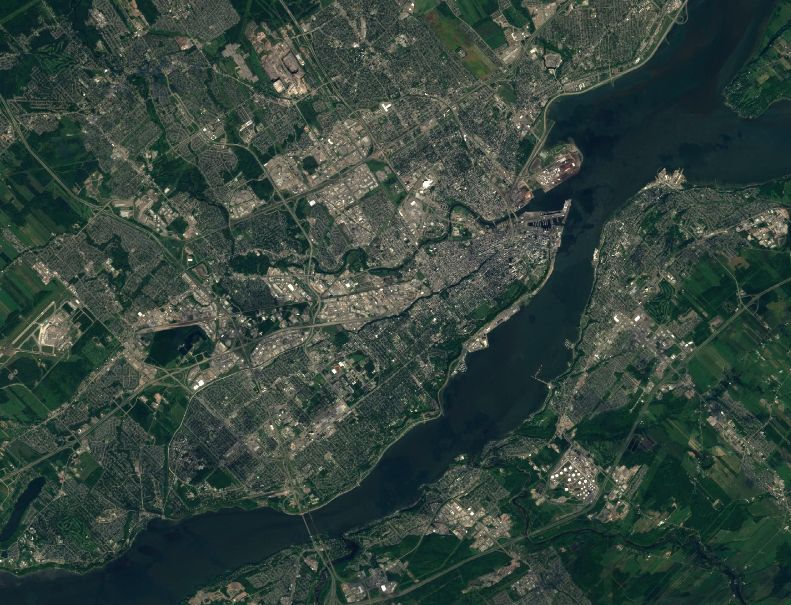
This imagery is available for Canada. The original source is the European Space Agency’s
Copernicus Sentinel-2
satellite. This data has been processed to remove clouds by EOX.
The resolution is 10 meters per pixel.
Currently, this imagery is also available in the app for Alaska, Hawaii, Puerto Rico and
the US Virgin Islands; let us know if you find this useful.
Built-In Roads & Cities Map
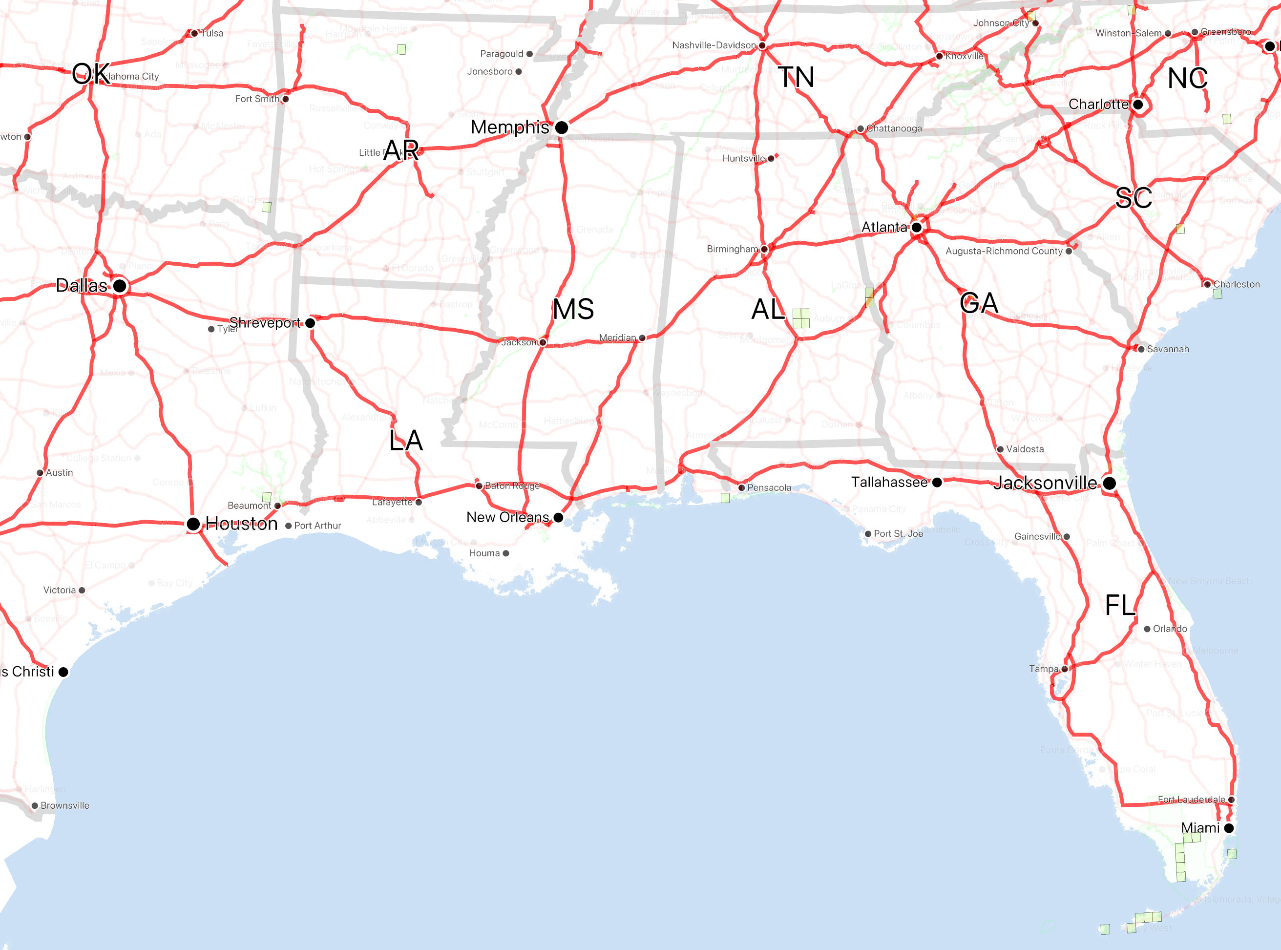
The purpose of the built-in roads & cities map (also referred to as the “Vector Base Map”)
is to provide something to look at when zoomed out, with enough points of reference for you
to identify the right place to zoom in and find the correct detailed maps to download.
Is is based on old data from various US and Canadian government agencies.
Built-In Imagery
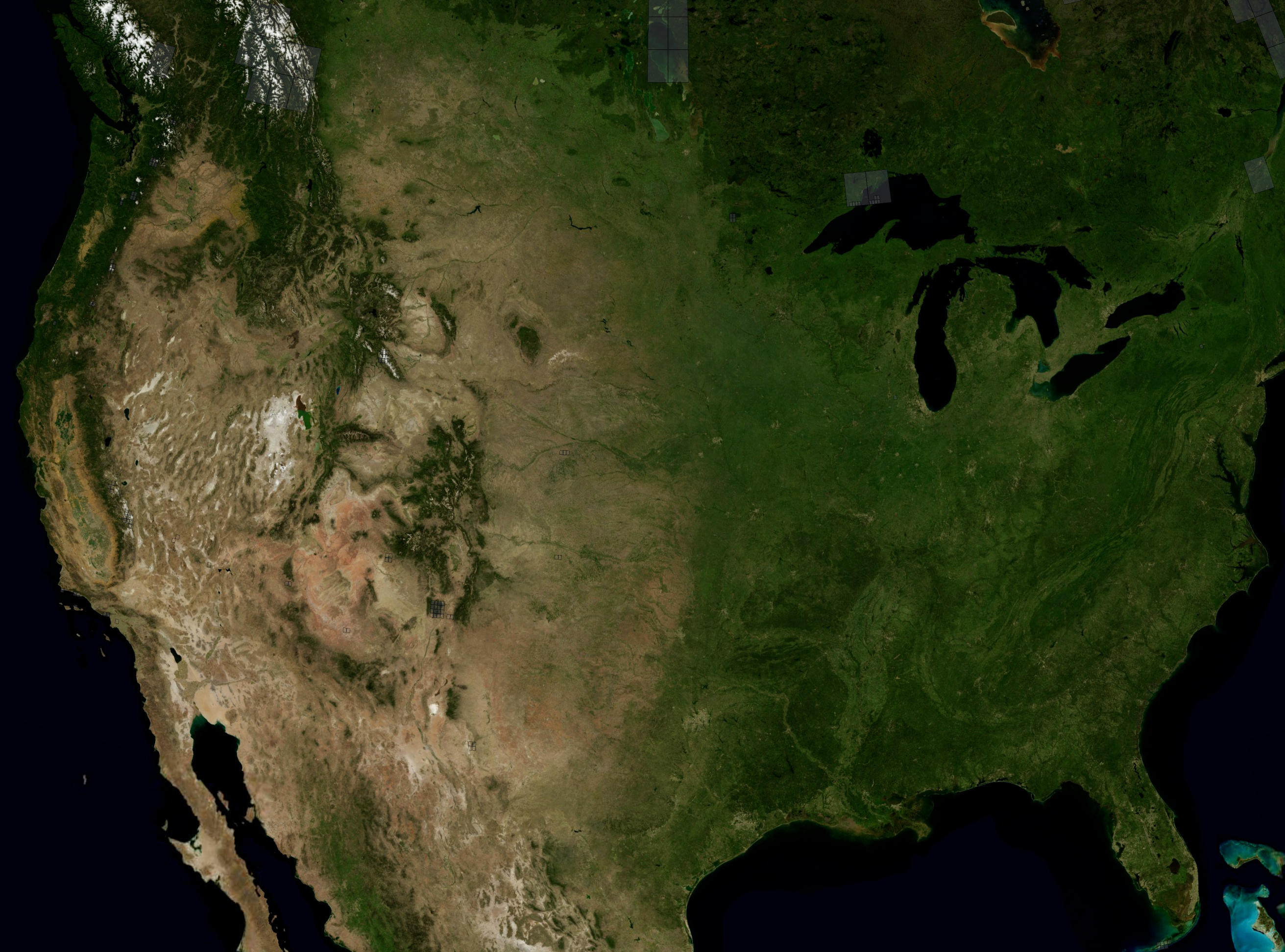
Like the Roads & Cities Map, the purpose of this map is to provide something to view
when zoomed out. It is based on the NASA
Blue Marble Next Generation satellite imagery, which has a resolution of about 400 meters
per pixel. It covers the entire globe but at reduced resolution outside the US and Canada.