March 18, 2025 - Version 2.8 now available. (read more...)
Topo Maps 2 is a feature-rich offline topographic map viewer app for iOS, for the United States and Canada.
A subscription, currently US$4.99 / year, is required.
Great Maps
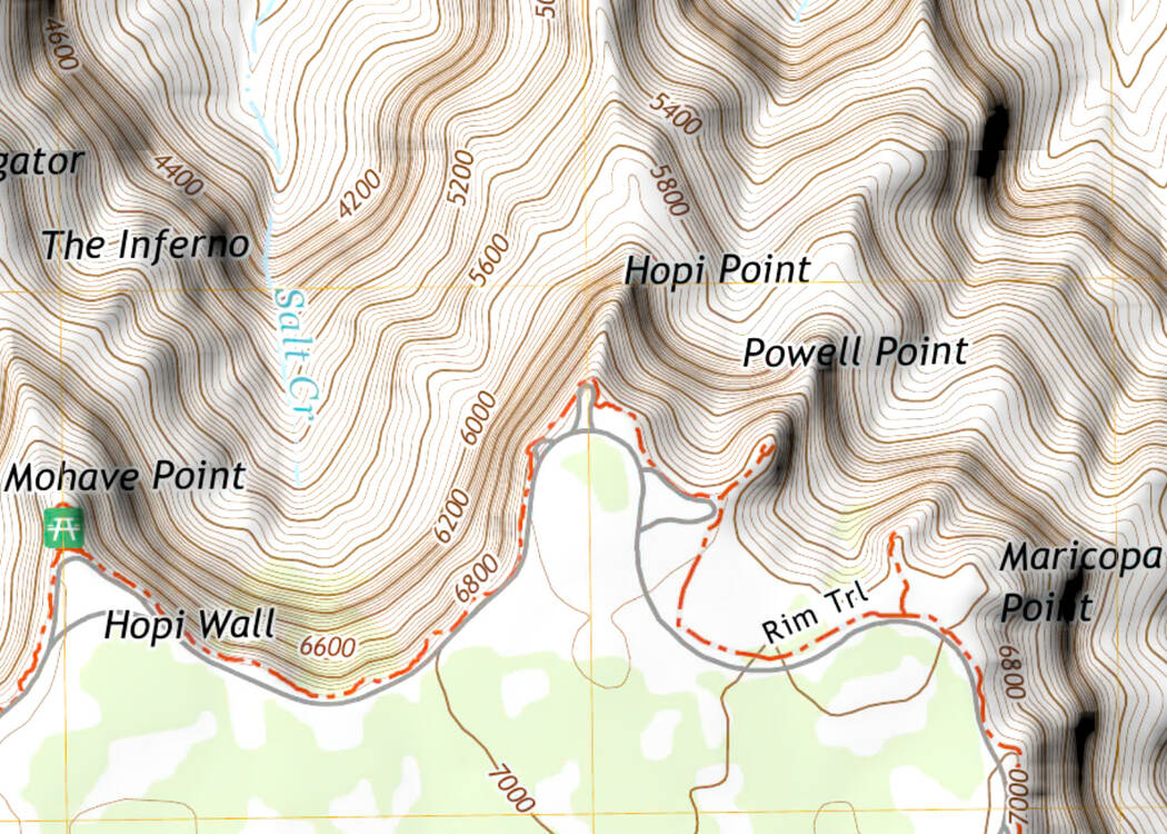
US Topo maps
New 1:24,000 digital topographic maps for the US.

Traditional USGS topographic maps
Scans of traditional US Geological Survey paper maps
at 1:24,000 for the US (1:63,360 for most of Alaska).

Canadian topographic maps
Natural Resources Canada 1:50,000 topographic maps.

US Forest Service maps
Two kinds of topographic maps from the US Forest Service, for areas that
include Forest Service lands, at 1:24,000.

Air imagery at 2.5 meters / pixel for the US.
From the National Agriculture Imagery Program for the contiguous US, and
from other US government sources for the remainder of the country.

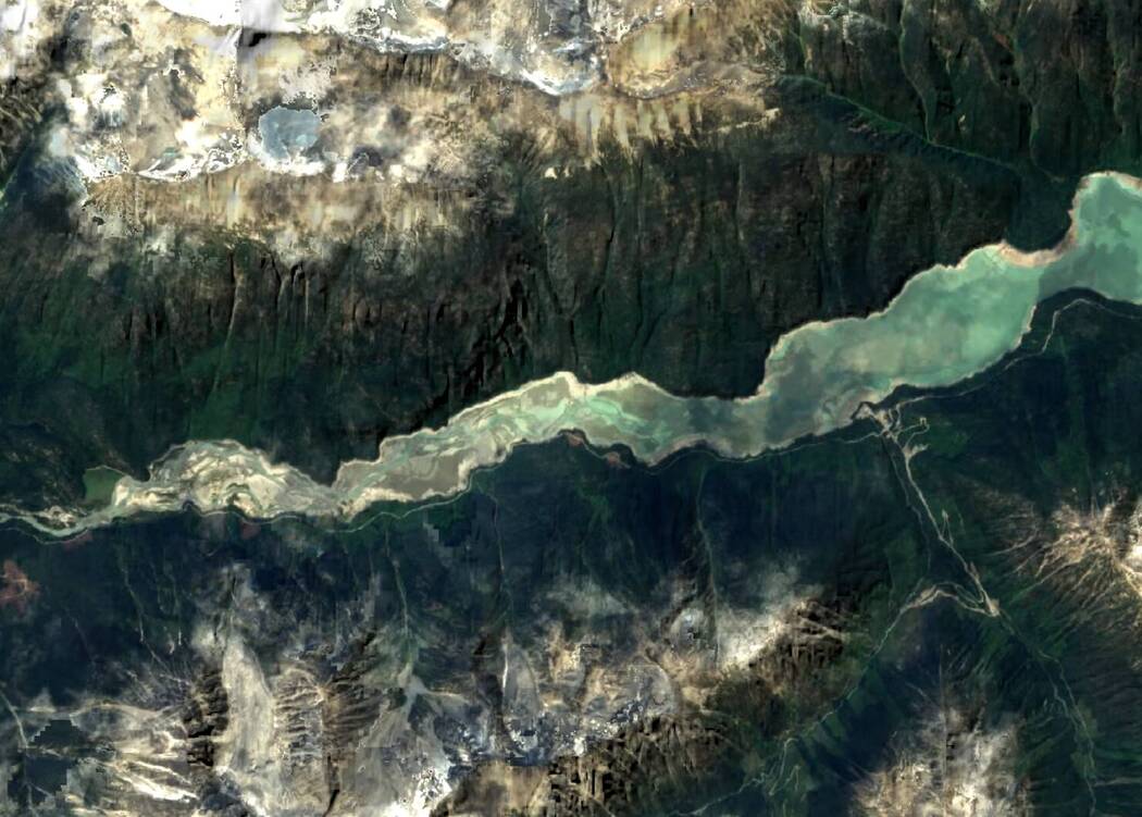
Satellite imagery at 10 meters / pixel for Canada.
From ESA’s Copernicus Sentinel-2 satellite.

Great Features
- Offline operation: once you have downloaded the maps that you need, you can view them without a network connection.
- View topographic maps, air imagery, and hybrid maps.
- View in 2D and 3D.
- Show your GPS location on the map, and record your track.
- Plot graphs of elevation and speed for your recorded tracks and planned routes.
- Mark waypoints, with a range of symbols and styles.
- Plan routes by drawing them on the map.
- Estimate times for planned routes based on distance and climb.
- Show your geolocated photos on the map, including the direction and field of view.
- Import and export GPX files containing waypoints, tracks and routes.
- Panorama Mode computes what should be visible from any point on the map.
- Apply adjustable slope shading to the map for a 3D effect in 2D mode.
- Measure distances and bearings.
- Offline search for place names (not addresses).
- Show coordinates and elevations in various formats and units.
- Use the compass to orient the map and show your heading as a true, grid or magnetic bearing.
- Go to other apps to view the current area.
- Configure the user interface to make the buttons you use most often the most accessible.
- Display data such as current elevation and speed on your Apple Watch.
- And more...
Great Pedigree
Our original Topo Maps app
dates back to 2009 when dinosaurs roamed the earth.

The old app has proved consistently popular over the years with users who
appreciate its simplicity and reliability. It remains available and is
still supported.
If you have the original app, its maps will be shared automatically with
the new app. You can also copy over your saved waypoints.